
Norway: Mounatin Trek
Discover Norways tallest peaks and waterfalls by hiking hut to hut in Jotenhiemen National Park
Southern Norway is home to Jotunheimen National Park, meaning "The home of the giants," which is only fitting.
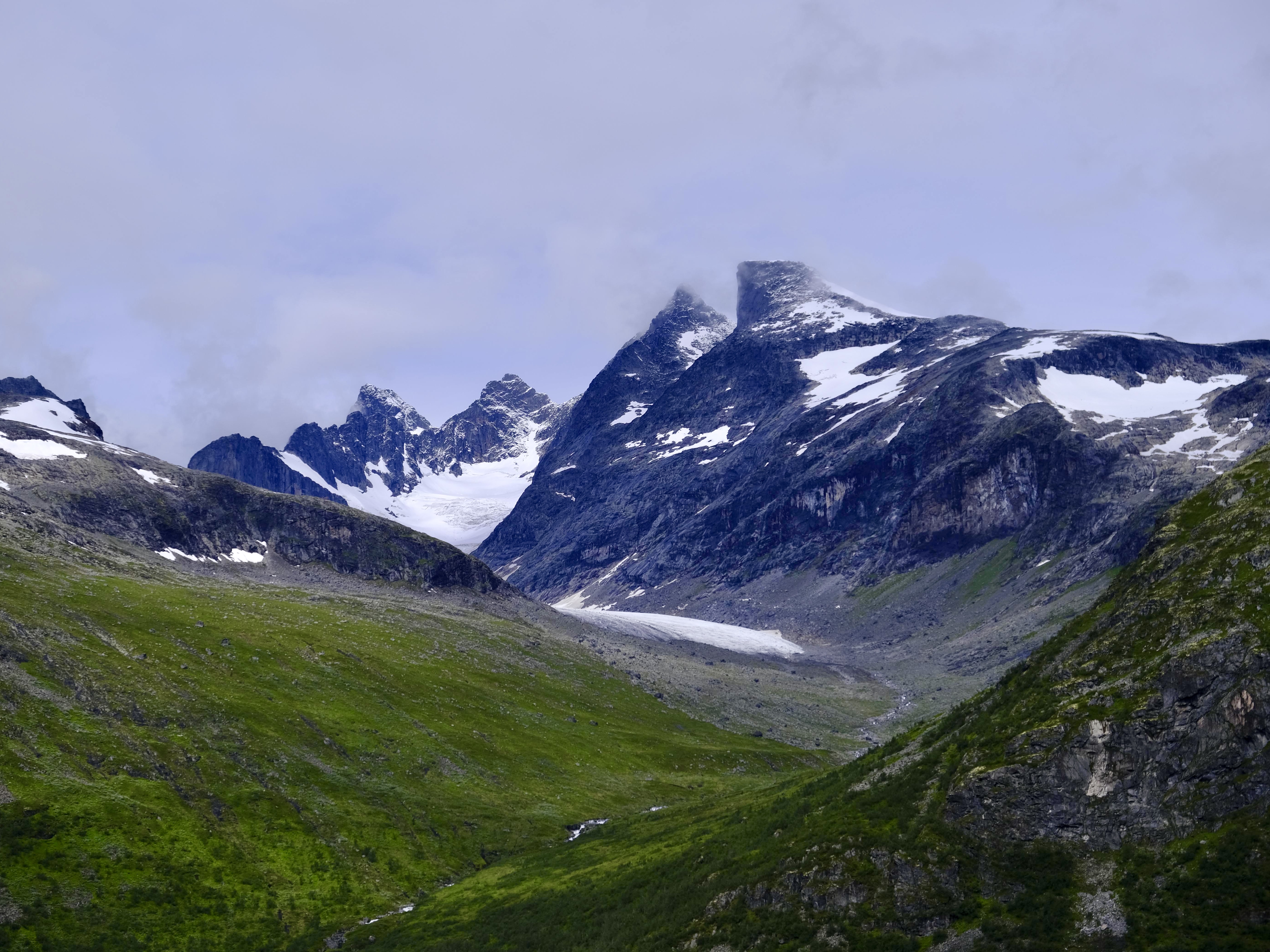
Here lies a vast and bold landscape covered in waterfalls, over 250 peaks higher than 2000 meters, and Northern Europe's tallest peak, called Galdhøpiggen, rising at 2,469 meters.
Historically, the region was extremely popular for hunting and fishing, the remnants of which can still be seen today through old homesteads and grazing fields.
This trek will take you from the base of Galdhøpiggen through mountainous valleys and occasionally along ridge lines as you carve your way through these magestic mountains. There is plenty of water along the way but I recommend bringing a purification device. Additionally, bear in mind that if you are camping, you will need to take care of food yourself.
__
__
__
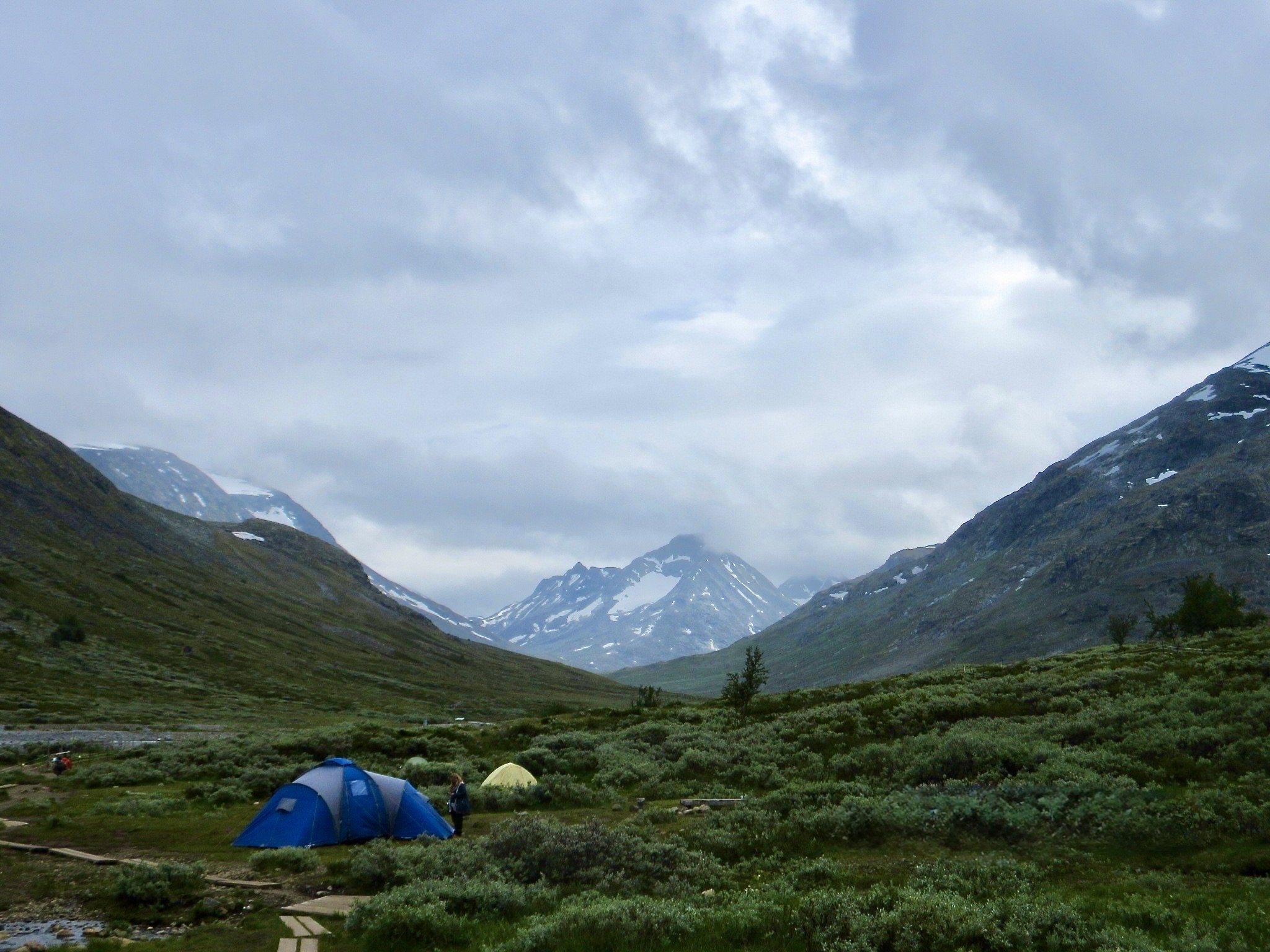
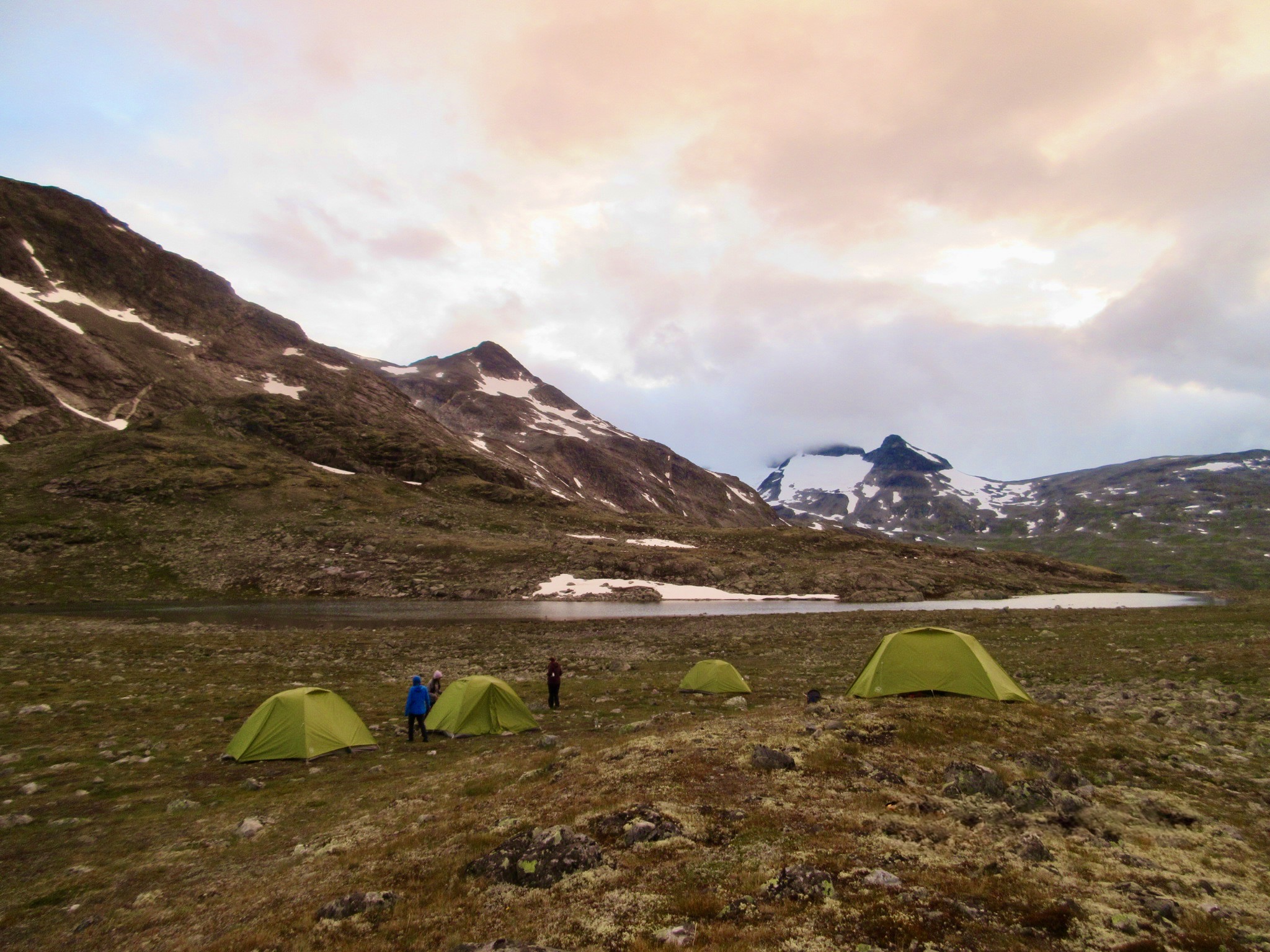
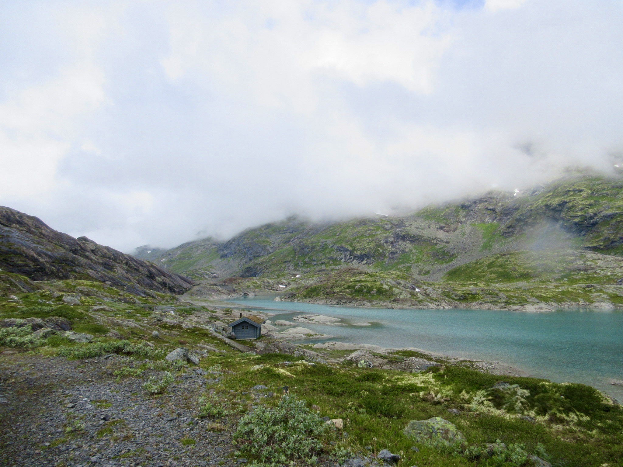
Day 1: Spiterstulen Turisthytte → Leirvassbu
Observe the base of Norway's tallest mountain. Do a river crossing which can be done dry if strategic.
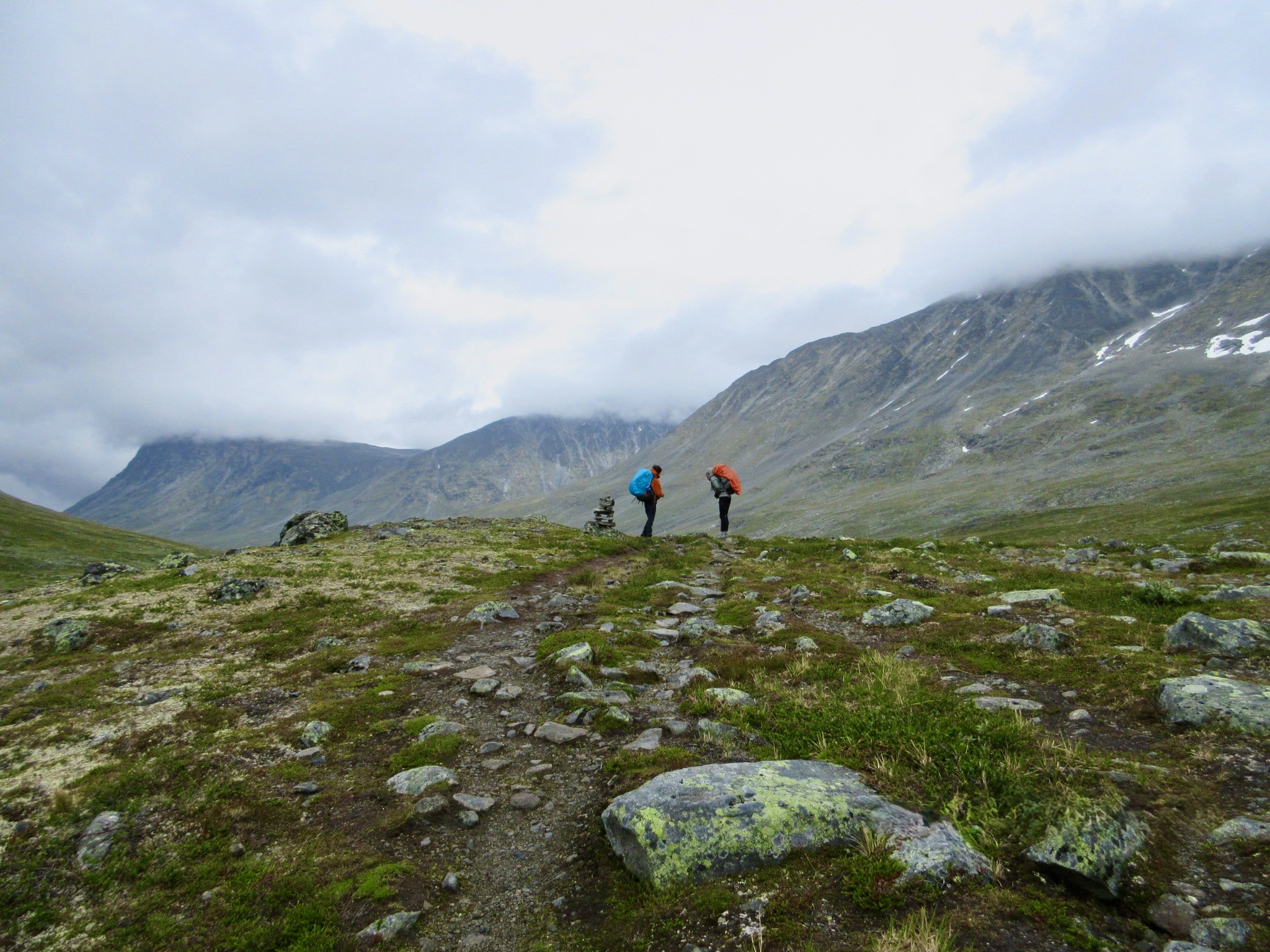
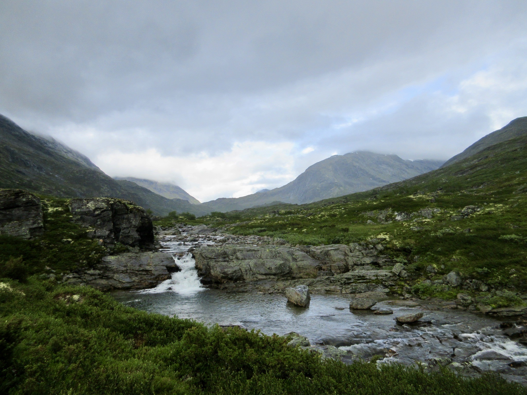
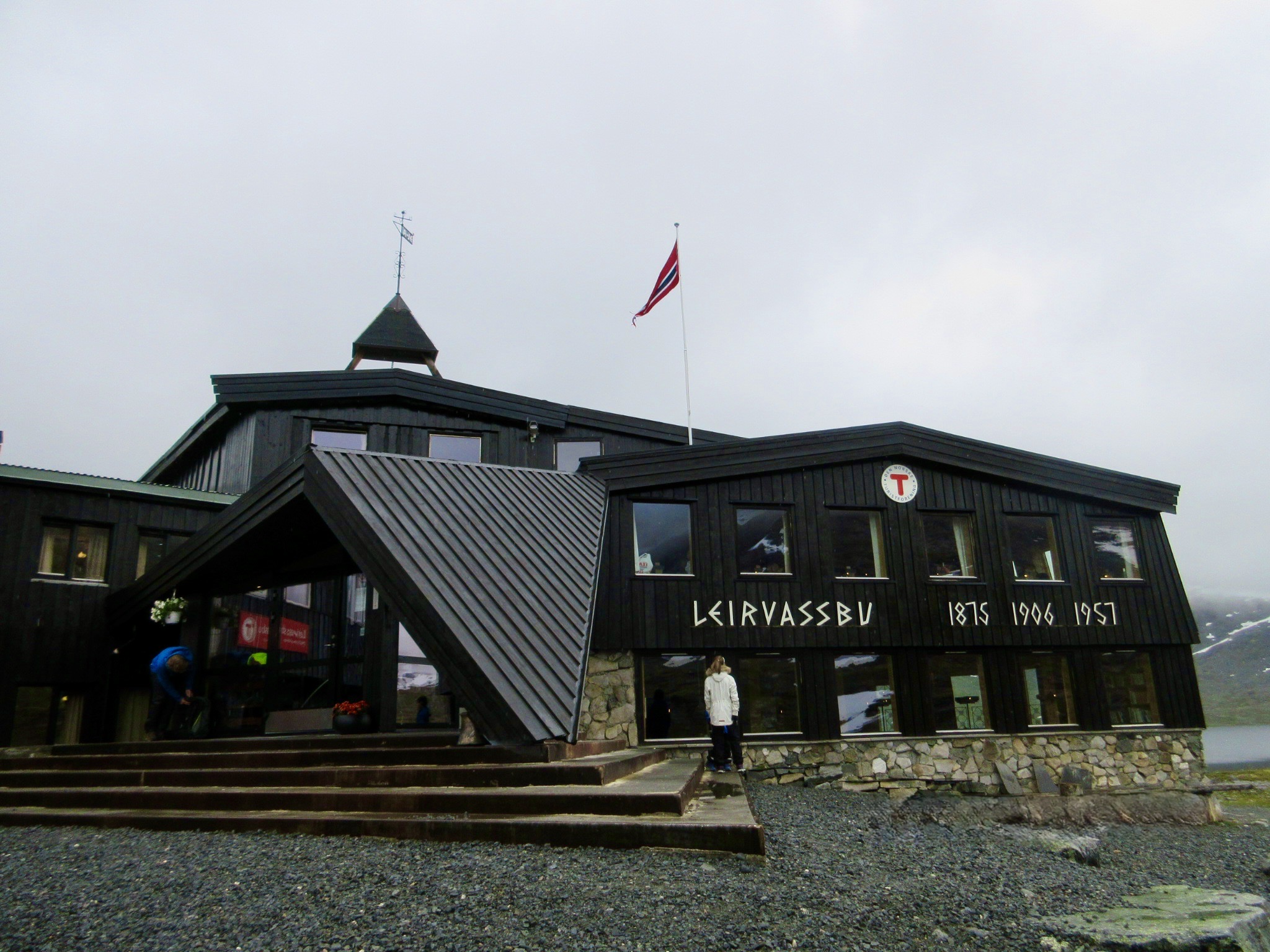
Day 2: Leirvassbu → Skogadalsbøen
Start the day on a wide road, which will gradually narrow into a path that takes you through the snow-covered mountains. As you get closer to Skogadalsbøen, you will find yourself in the tree, keep an eye out for the breathtaking waterfalls that lie across the gorge as you walk.
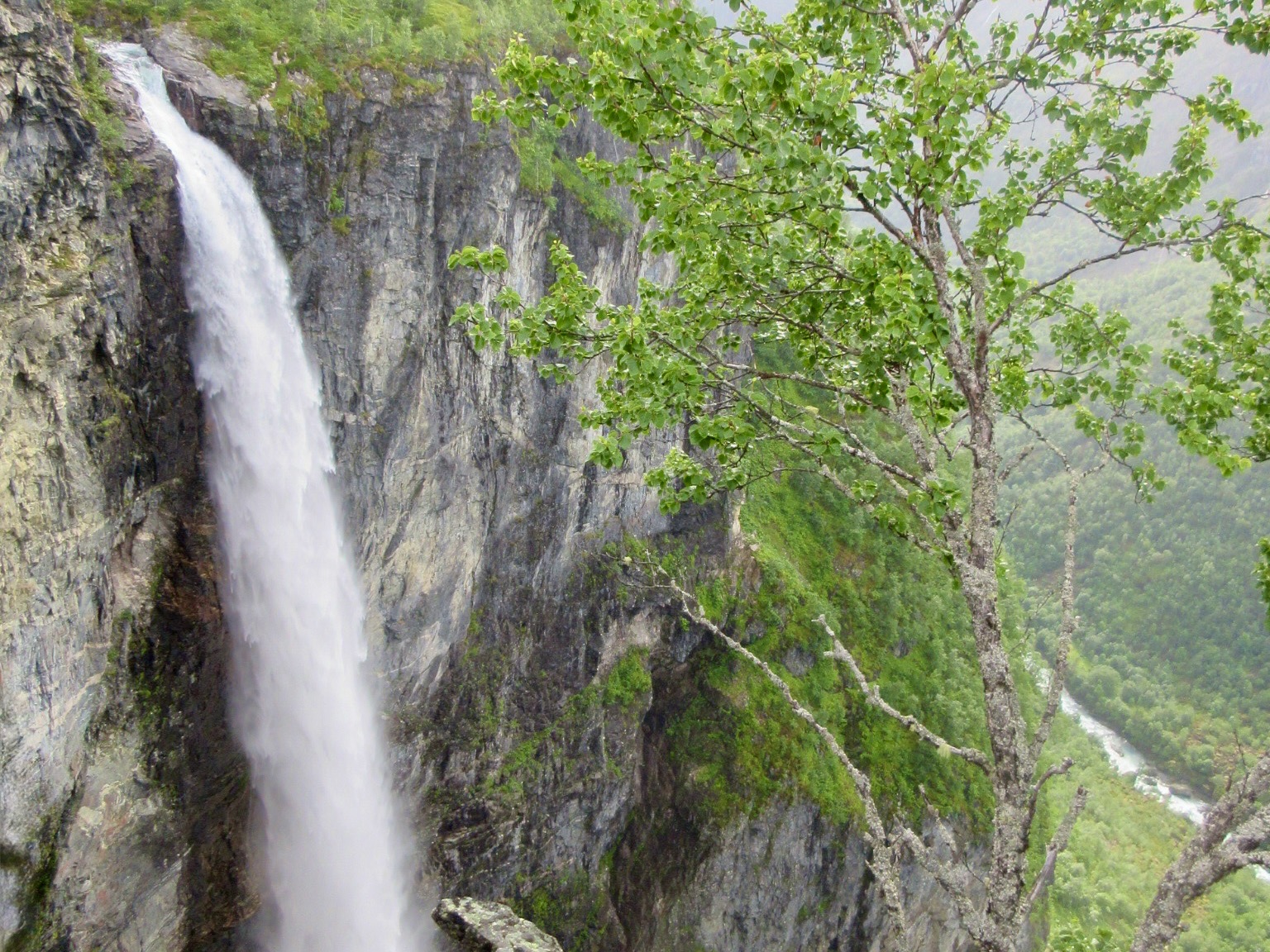
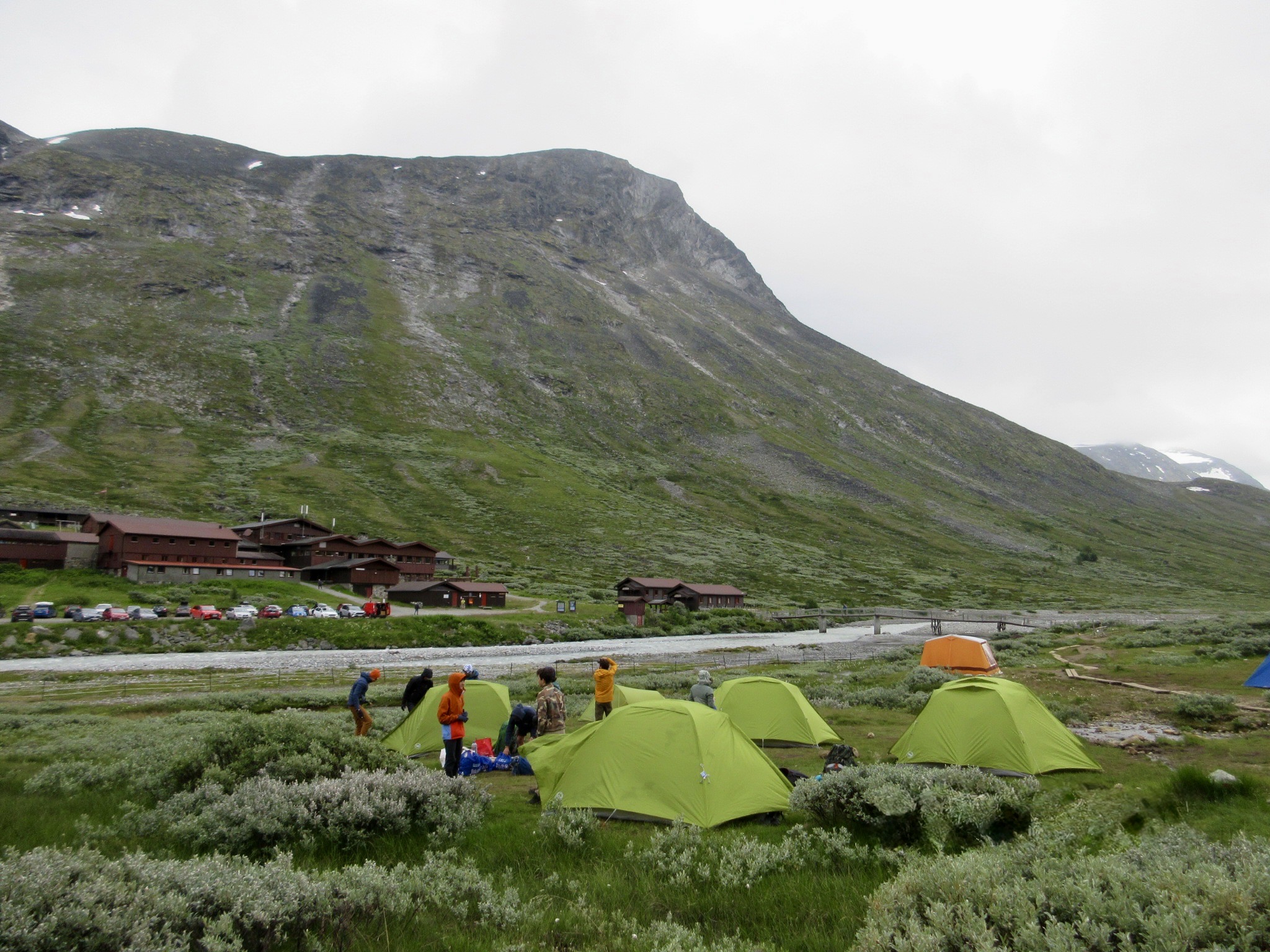
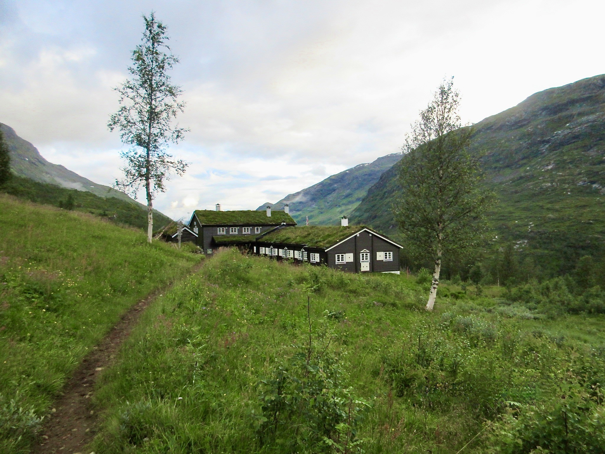
Day 3: Skogadalsbøen → Vetti Gard Turiststasjon
Pass by Vettisfossen, one of Norways tallest waterfalls as you begin your descend to sea level!
You'll also pass an old hunting town located in a sprawlling and mystical meadow.
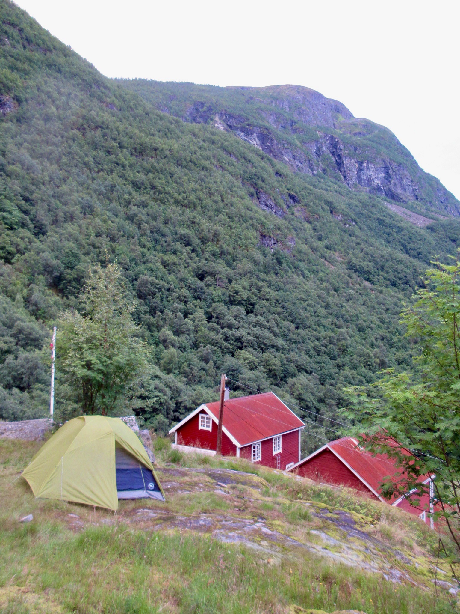
You'll then spend the night at Vetti Gard Turiststasjon, a remote and rustic lodge that also has limited camping space.
Day 4: Vetti Gard Turiststasjon → Parking Lot Hjelle
In this short and final leg of your hike, you'll follow the Utla river to the parking lot where you will need to have a way of getting back to the town
__
__
__
__
__
__
__
__